
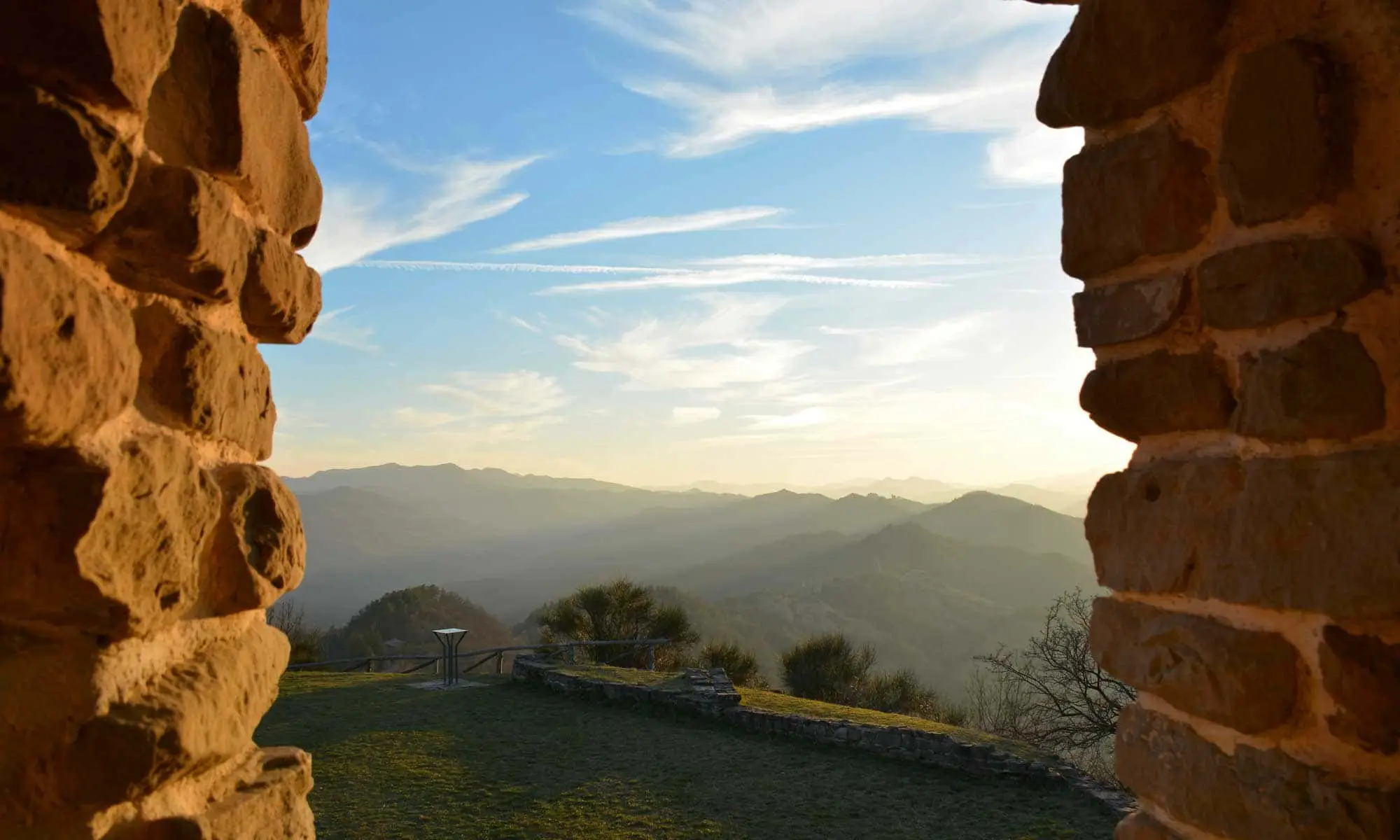
Tuscan-Romagnol Apennines
The Tuscan-Romagnol Apennines are the stretch of ridge that runs between Romagna and Tuscany, from the Passo della Futa to the source of the Tiber. The highest point is Monte Falco, 1,658 metres, on the border between the provinces of Arezzo and Florence. On the Romagna side, the valleys of the Lamone, Montone, Rabbi, Bidente, Savio, Marecchia and Conca run down towards the coast.
The landscape changes within a few kilometres. From the beech forests on the ridge you pass through clay badlands, then the gypsum outcrops of the Vena, and finally hills covered in vineyards. Three protected areas tell this sequence better than any description.
The three parks
The Parco Nazionale delle Foreste Casentinesi, Monte Falterona and Campigna was established in 1993 and protects around 36,000 hectares across Forlì-Cesena, Arezzo and Florence. Within it lies the Sasso Fratino Integral Reserve, added to the UNESCO World Heritage List in 2017.
The Parco Regionale della Vena del Gesso Romagnola was created by regional law on 21 February 2005 and protects 6,063 hectares in total (2,041 of park and 4,022 of buffer zone). It covers the towns of Casalfiumanese, Borgo Tossignano and Fontanelice in the province of Bologna, and Casola Valsenio, Riolo Terme and Brisighella in the province of Ravenna. The Vena del Gesso is one of seven components of the "Evaporite karst and caves of the Northern Apennines" site, added to the UNESCO list in 2023.
The third is the Parco Naturale Regionale del Sasso Simone e Simoncello, established by the Marche Region in 1994 and today spanning two regions, on the Montefeltro side.
The Ridracoli dam
In the upper Bidente valley, in the municipality of Bagno di Romagna, the Ridracoli dam closes the valley with an arch 103.5 metres high. The reservoir can hold up to 33 million cubic metres of water and supplies around 950,000 people in the provinces of Forlì-Cesena, Ravenna, Rimini and in the Republic of San Marino. On average it covers half of Romagna's water needs.
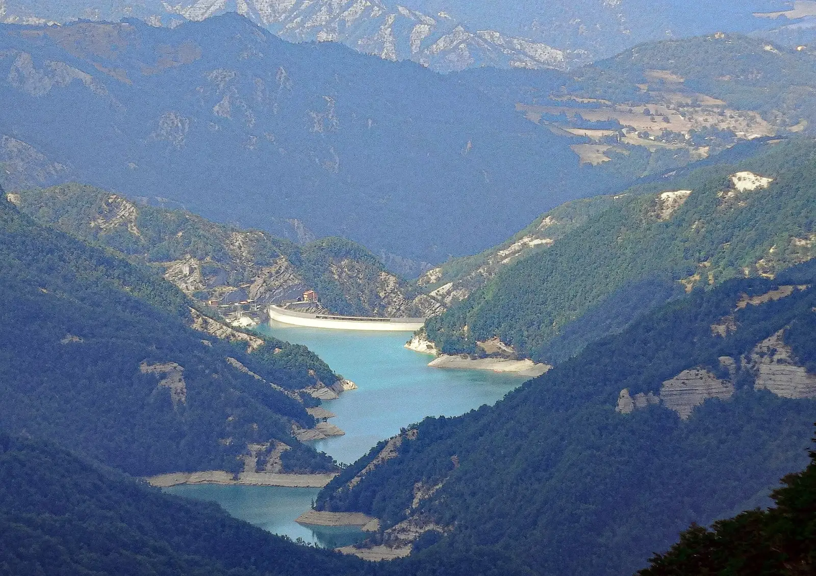
Work ran from 1975 to 1982. Today the lake can be visited by boat or canoe, and the Idro Ecomuseo explains how the dam works.
The source of the Tiber and Monte Fumaiolo
At the southern tip of Romagna, in the municipality of Verghereto, rises Monte Fumaiolo (1,407 metres). Just below the summit, at 1,268 metres, the Tiber is born; it runs for 406 kilometres before reaching the Tyrrhenian Sea. The source has been on Romagna territory since 1923, when the regional border was moved.
Hill villages and thermal baths
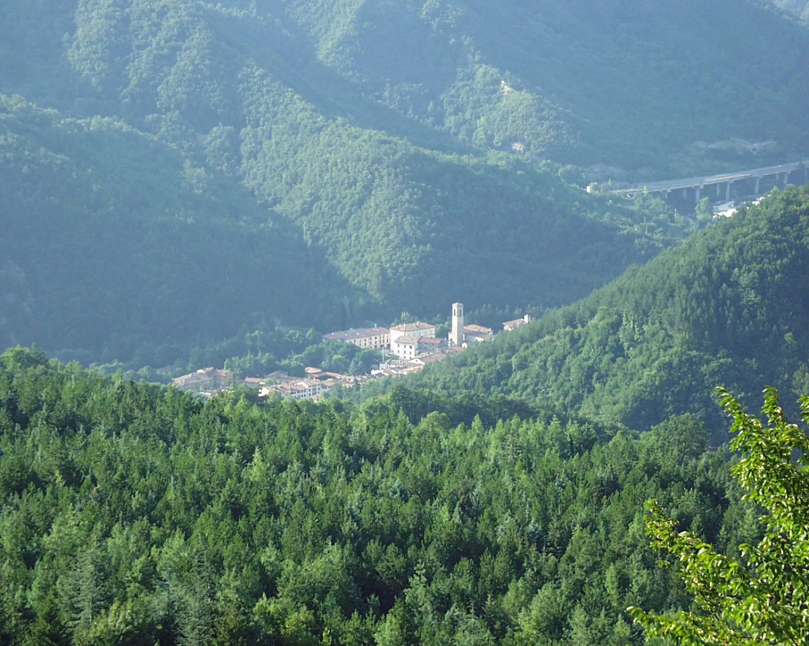
On the Romagna side, the Apennines are a string of villages and thermal towns, all within a short distance of the coast.
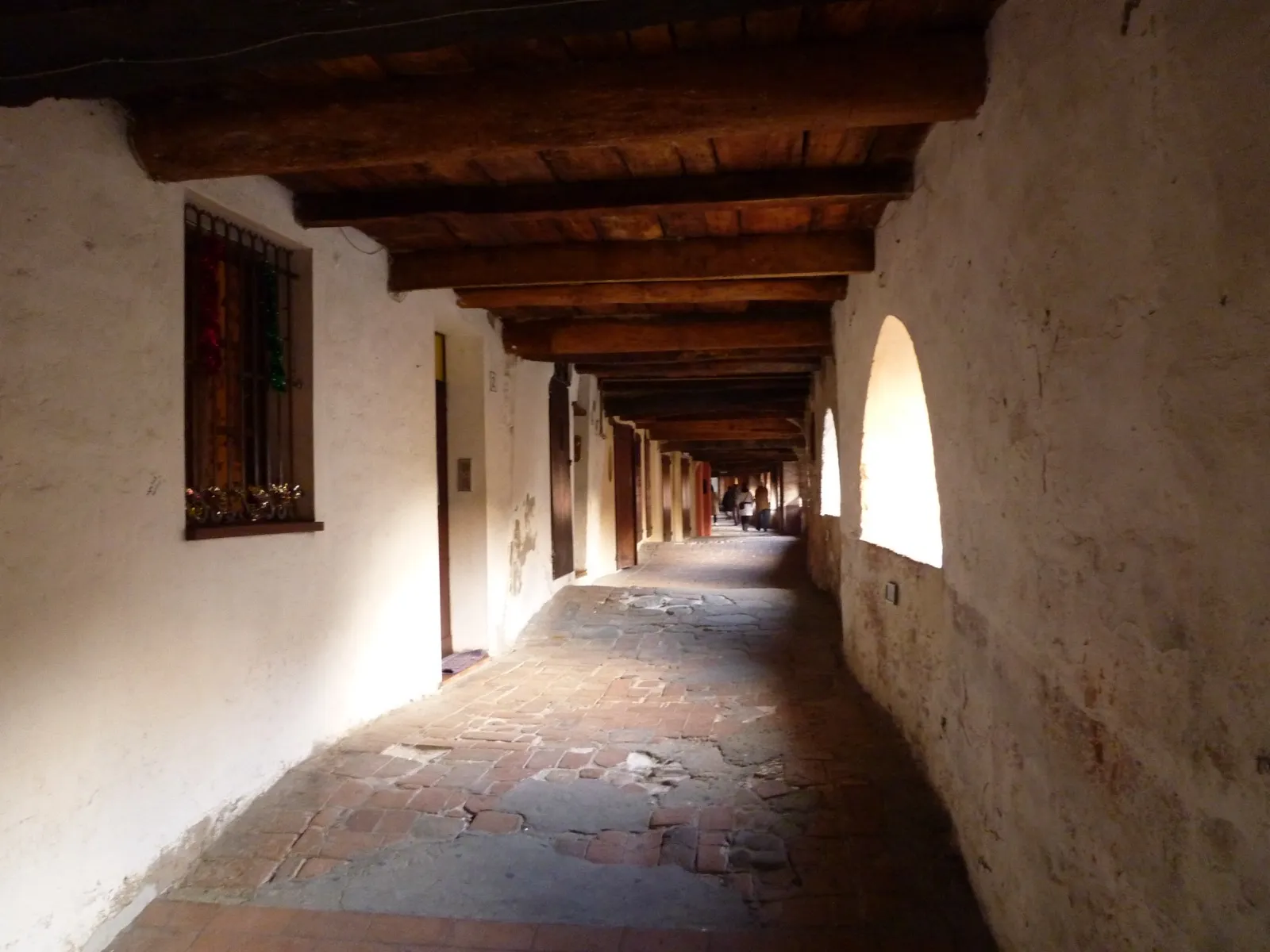
Brisighella grows beneath three gypsum pinnacles. It has the Rocca Manfrediana, the Monticino Sanctuary, the clock tower and Via degli Asini, the covered street that runs through the houses. Riolo Terme has the Rocca Sforzesca and the Grotta del Re Tiberio, inside the Vena del Gesso park. Castrocaro Terme e Terra del Sole combines the medieval fortress with the fortified town built by Cosimo I de' Medici.
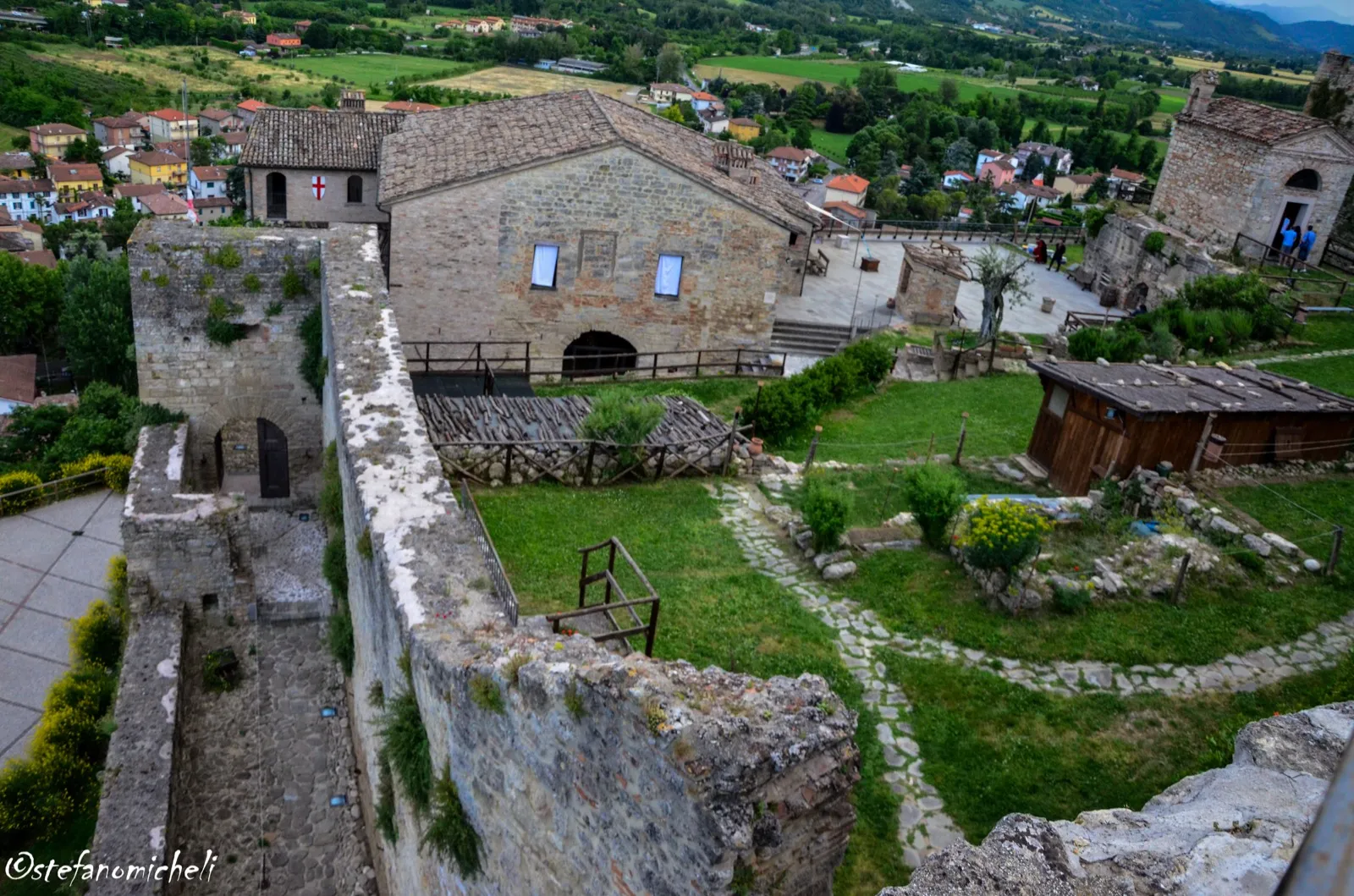
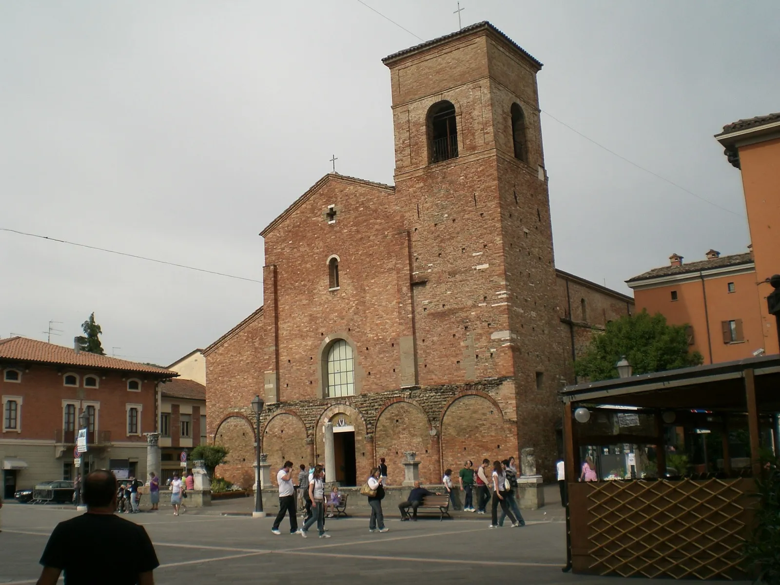
Further up, Bagno di Romagna has lived off its thermal waters since Roman times. Premilcuore is the gateway to the Rabbi valley, with the Grotta Urlante. Sarsina preserves the Roman forum and the Basilica di San Vicinio, and is the birthplace of the playwright Titus Maccius Plautus, celebrated every summer at the Plautus Festival.
Getting around
The ridge roads and passes, the Futa, the Muraglione, the Calla, the Mandrioli, link the Romagna side to the Tuscan side and are routes worth taking in their own right. On foot, the main route is the Alta Via dei Parchi, which follows the ridge, while the Sentiero delle Foreste Sacre links the hermitages inside the National Park.